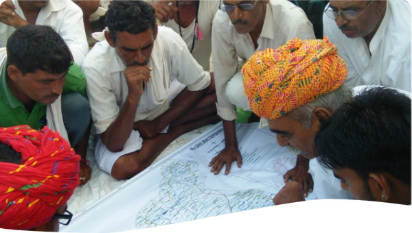
Book chapter. Although there are, as of yet, no specific GIS applications for irrigation management, there are several products related to precision agriculture which offer tools to monitor the water use in order to improve land/crop performance and offers several GIS functionalities. These precision agriculture software packages can be used to identify strategies for improved land/crop management. Precision agriculture software provides a link between crop production records and spatial (map) data, including site-specific or land management units. Precision agriculture software is required for field data collection (spatial and non-spatial), data management and data analysis.
Description / Abstract
Publication year
Thematic Tagging
English
 Resource -
