Tool -
C2.01
Tool -
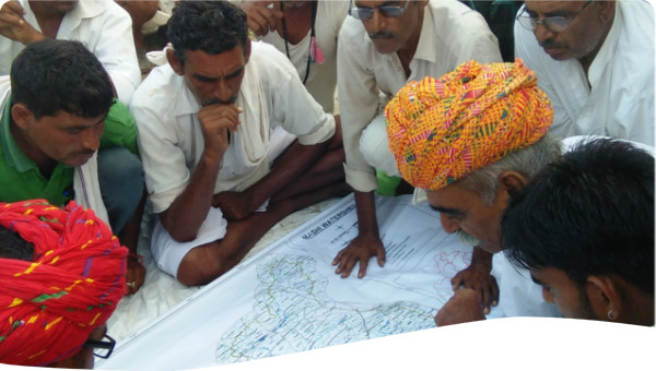
GIS is a system that uses spatial and temporal data to process and create maps of all kinds. GIS analysis are useful to support decision making and is used in almost every industry, e.g., social scientists run analysis to understand food security in urban neighbourhoods, surveyors use it to geo-reference old maps on the Global Coordinate System, hydrologists estimate approximate run off and size of catchment to design dams, etc.
To make GIS work, data is required. Spatial data can be gathered through variety of ways including slow and tedious topographical surveys or the much modern techniques of remote sensing such as images taken via drones, airplanes and satellites. Once spatial data has been gathered, descriptive information can be linked to draw various useful analyses as mentioned above.
Spatial data can be captured and represented in two formats:
A big advantage of GIS is that it allows you to utilise and combine both, vector and raster data in order to run accurate analyses, e.g., a raster image of a flood can be mapped on a map of a city or a neighborhood to quickly understand the extent of the flood. Similarly, such data from previous years can be analysed together to forecast flooding and design flood shelters and flood mitigation structures, etc. A summary of the characteristics and visual representations of Raster Data Model vs Vector Data Models are presented in Figures 1 and 2.
Table 1. Raster Data Model vs Vector Data Model. Source: Bolstad (2016)
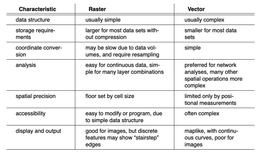
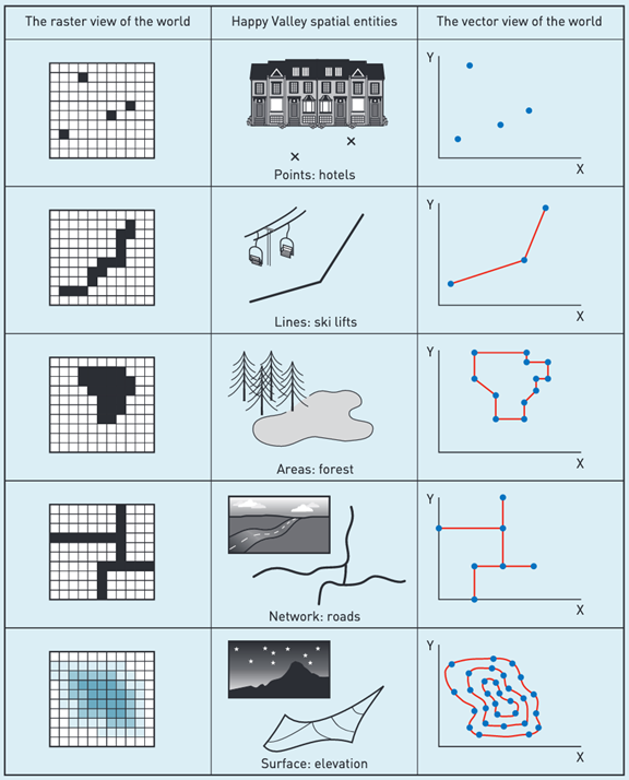
Figure 2. Raster Data Model vs Vector Data Model (ii) (source: Heywood, Cornelius and Carver, 2011)
Within GIS, several companies have developed software for different sectors as well as for branches within each sector. The following can assist practitioners:
The use of GIS applications becomes limited without data and sometimes data is hard to obtain. High resolution raster images and detailed vector shapefiles are often heavy priced and quite often not available for developing countries. The United States Geological Survey (USGS) Earth Explorer offers raster images of varying resolutions for free for limited time. Similarly, DIVA-GIS.org is another free source for GIS Data.
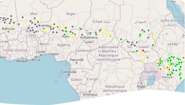
GIS has a major role to play in water resources management as it can directly promote evidence-based decision-making by processing data into usable results. Some applications of GIS in the field of water resources management include: